
Journey To ChinaLast updated
The Bund guide
One river, two skylines
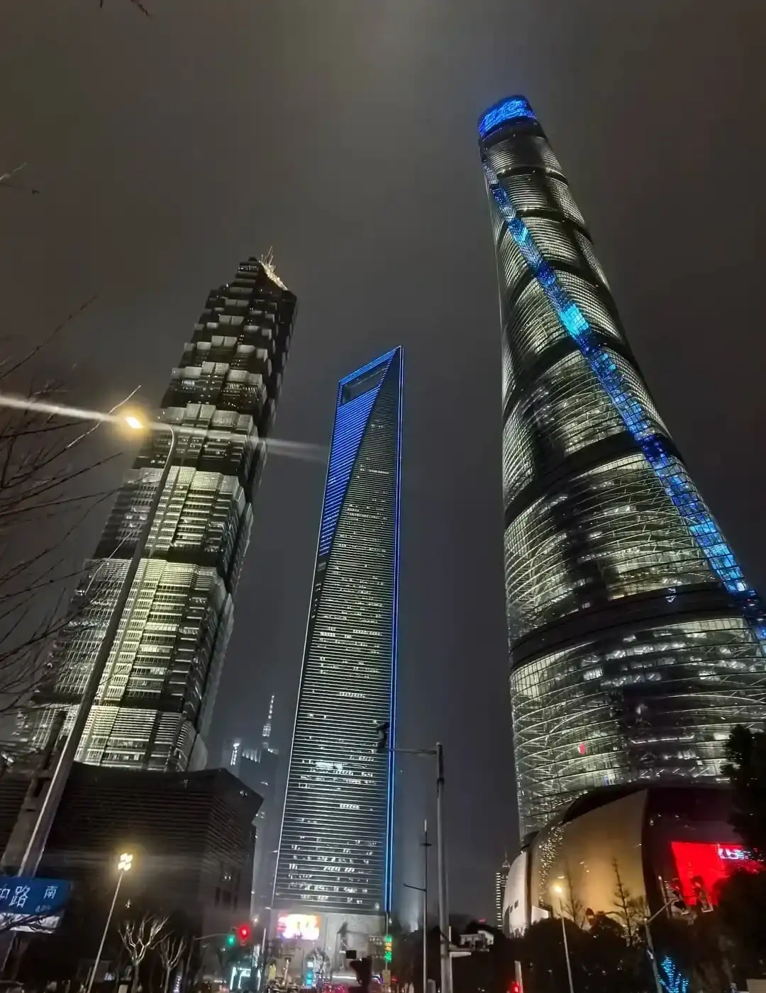
The Bund follows the west bank of the Huangpu River. Look east from the promenade for the Oriental Pearl Tower, Shanghai World Financial Center and Shanghai Tower. Turn west and Zhongshan East First Road is lined with historic buildings in a mix of revival styles. The Shanghai municipal government counts 52 buildings in the protected architectural ensemble.
After Shanghai opened as a treaty port in the 1840s, this riverbank developed into the city's centre for shipping, banking and foreign trade. Many surviving landmarks took shape in the 1920s and 1930s. The Customs House clock tower, former Hongkong and Shanghai Bank building and rows of trading offices show how finance and the port once faced each other across the same road.
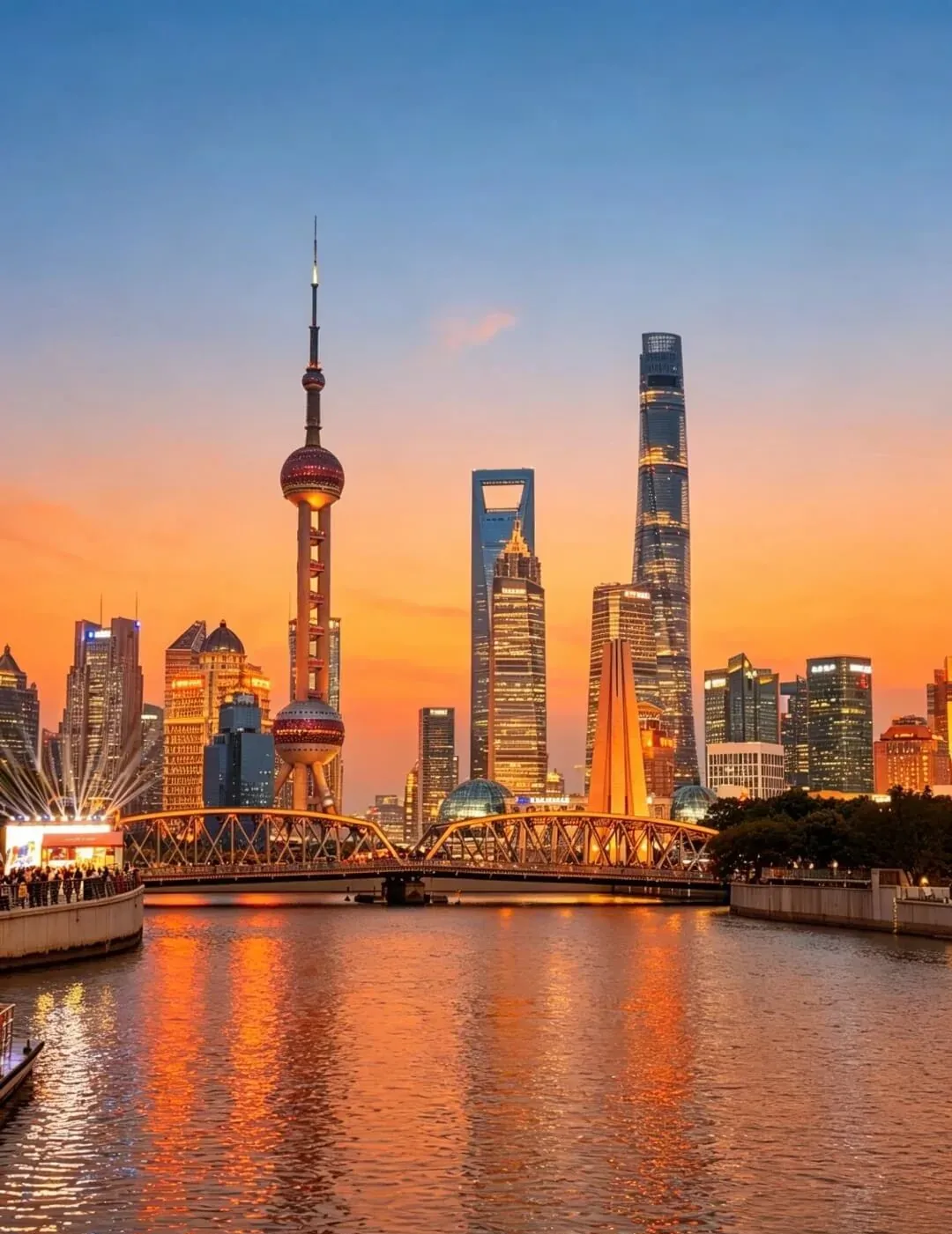
Near the mouth of Suzhou Creek, Waibaidu Bridge and Lujiazui fit into the same view.
Look behind the skyline
Walk south along Zhongshan East First Road to see clock towers, domes, colonnades and stone façades at street level. The clock tower of the Customs House is the easiest landmark to identify, while the former bank buildings reveal details that disappear from across the river. Selected buildings contain hotels, banks, restaurants or exhibition spaces; current public access depends on the individual venue.
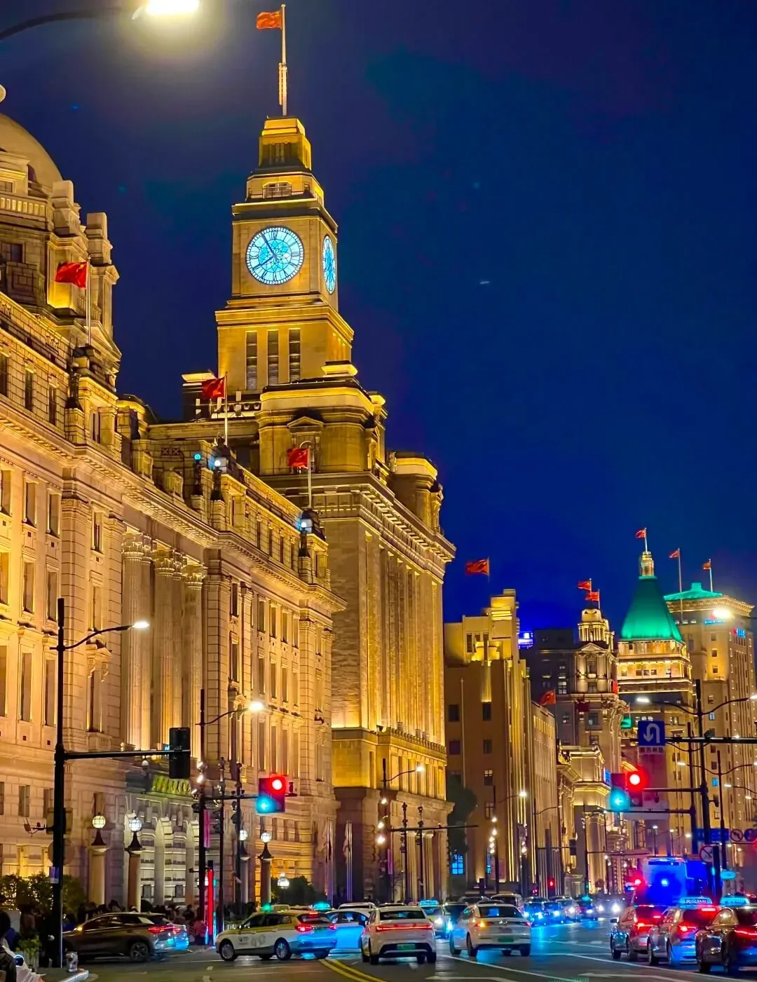
The street side reveals details that disappear in the view from across the river.
Stay through blue hour
Arrive before sunset to see the Pudong towers catch the last light and both riverbanks illuminate. The promenade continues north to Waibaidu Bridge and the mouth of Suzhou Creek, and south toward Shiliupu and the cruise piers, so different sections offer distinct river angles even during busy periods.
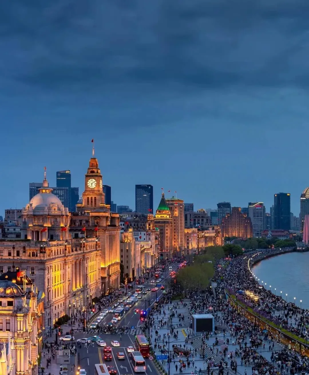
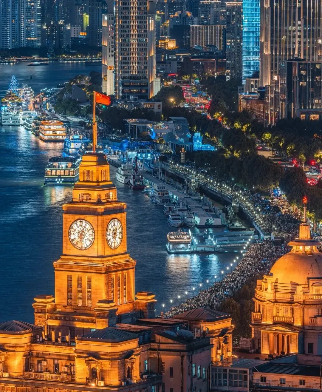
Cruise terminals sit farther south; cruise tickets are separate from the public promenade.
A practical route
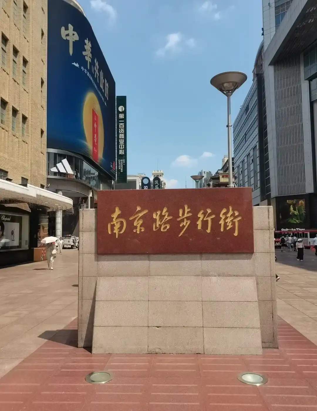
Waibaidu Bridge → the Bund Origin area → Customs House → East Nanjing Road → Shiliupu. If Nanjing Road is also on your list, reverse the route and walk east from People's Square to avoid backtracking.