
Journey To ChinaLast updated
Nanluoguxiang guide
A fishbone street plan from the Yuan capital
The district's basic form dates to the planning of Dadu, the Yuan capital. Nanluoguxiang runs north to south, with parallel east-west hutongs branching from it like ribs. Courtyard houses filled the blocks between them, and names, gates and lane widths still reveal how the neighbourhood was organised.
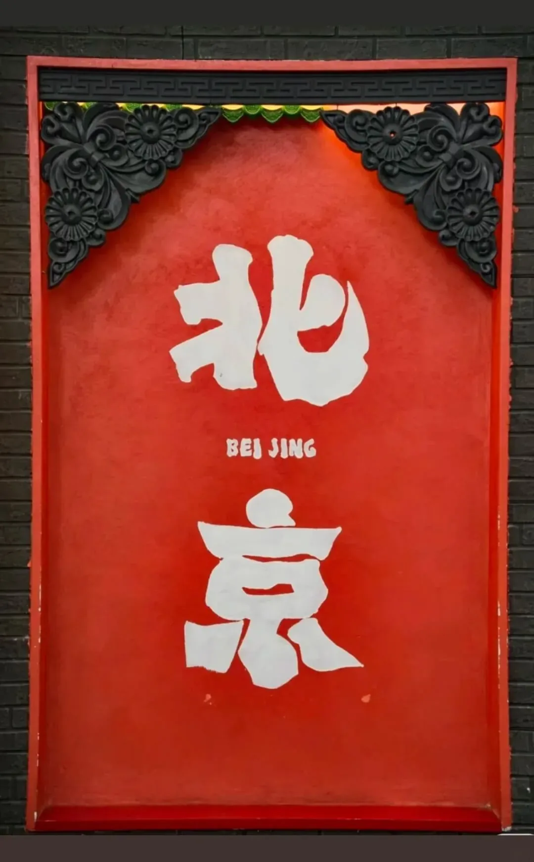
The main lane now mixes grey brick, signs, cafés, snacks and souvenir shops. Its commercial energy is part of the current street rather than a separate layer to ignore.
Side lanes carry different pieces of history
Mao'er Hutong contains the former residence of Wanrong and the garden associated with Wen Yu. Yu'er Hutong is known for recent courtyard restoration and community work. Other lanes retain former residences, schools and adapted compounds, though many remain private homes and can only be understood from the street.
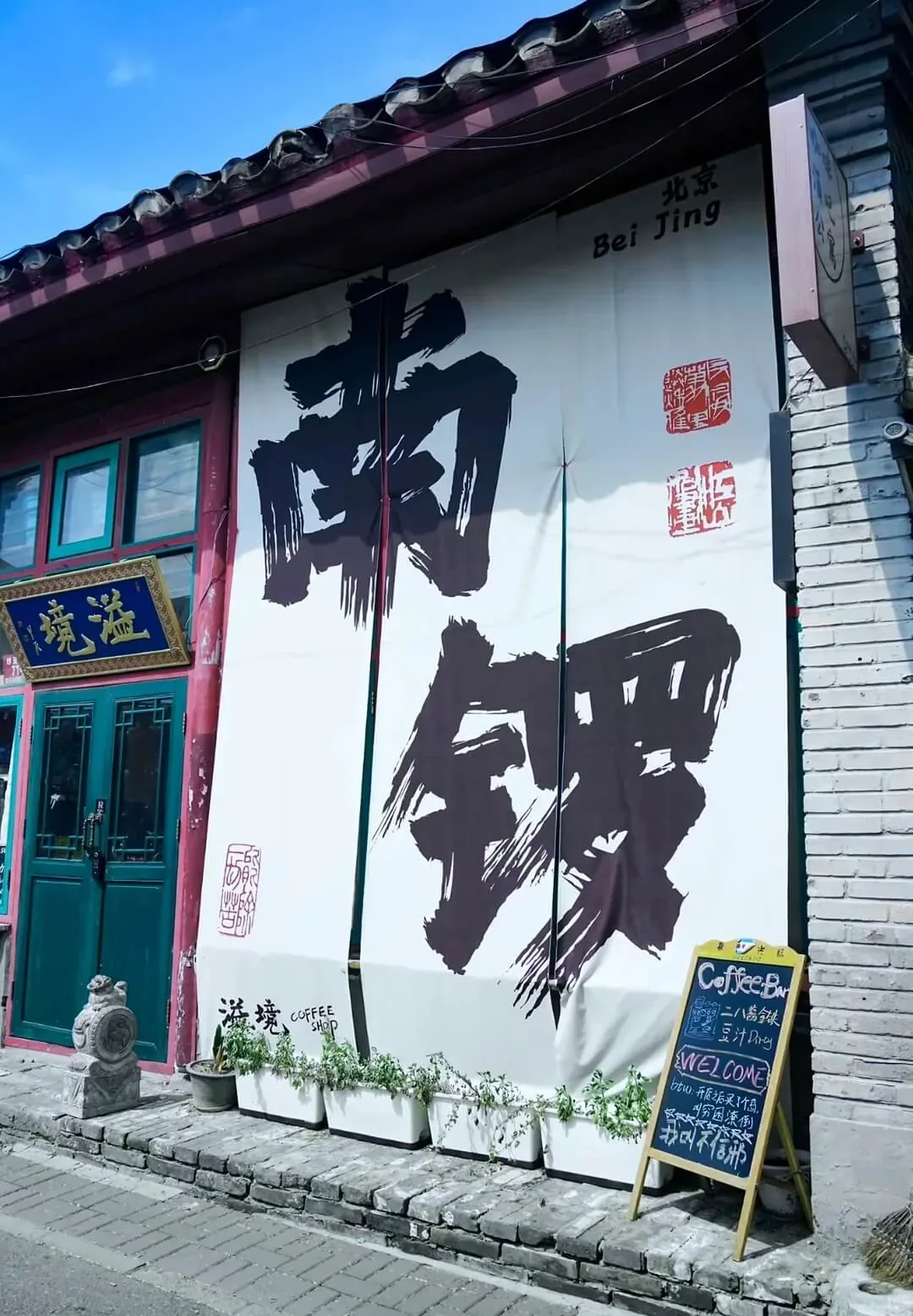
The neighbourhood is not an open-air museum
Residents share these narrow lanes with visitors, deliveries, bicycles and local traffic. Photograph public façades without entering courtyards or blocking doorways. Small architectural details are often more revealing than a famous gate: stone drums, patched brickwork, roof lines and the point where a shopfront gives way to an ordinary home.
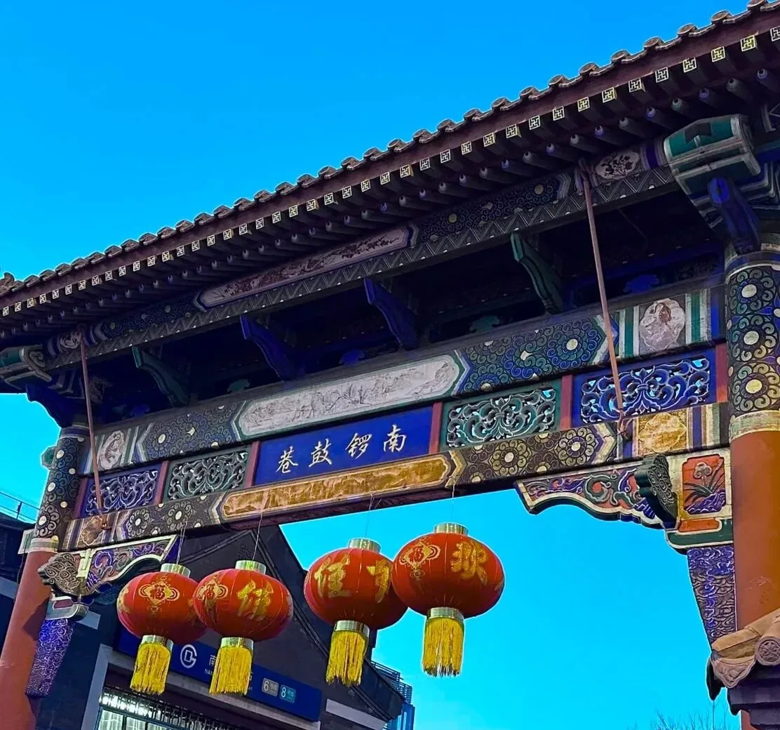
The northern end continues naturally towards the Drum Tower and Shichahai; the southern end meets Line 6 and Line 8.
The Drum and Bell Towers explain the timekeeping system of the old capital. Shichahai adds lakes, bridges and former princely residences. These routes give the hutong plan a wider city context, while each site keeps its own entrance and opening rules.