
Journey To ChinaLast updated
Hongya Cave guide
A cliff that has linked the walled city to the river for centuries
Hongya Cave takes its name from Hongya Gate, one of the closed defensive gates in the 17-gate wall system rebuilt in 1371. The gate disappeared as Chongqing expanded in the early 20th century, but paper and salt wharves kept the foot of the cliff busy. Warehouses, tea houses, shops and timber stilt houses climbed the slope above them, connected to the upper city by stone stairs.
Residents moved away when the riverfront road was built in 1993. The present folk-custom district opened in 2006: it is a modern commercial complex rather than a surviving ancient village, but its stepped massing preserves the place name, wharf memory and the visual language of cliffside dwellings.
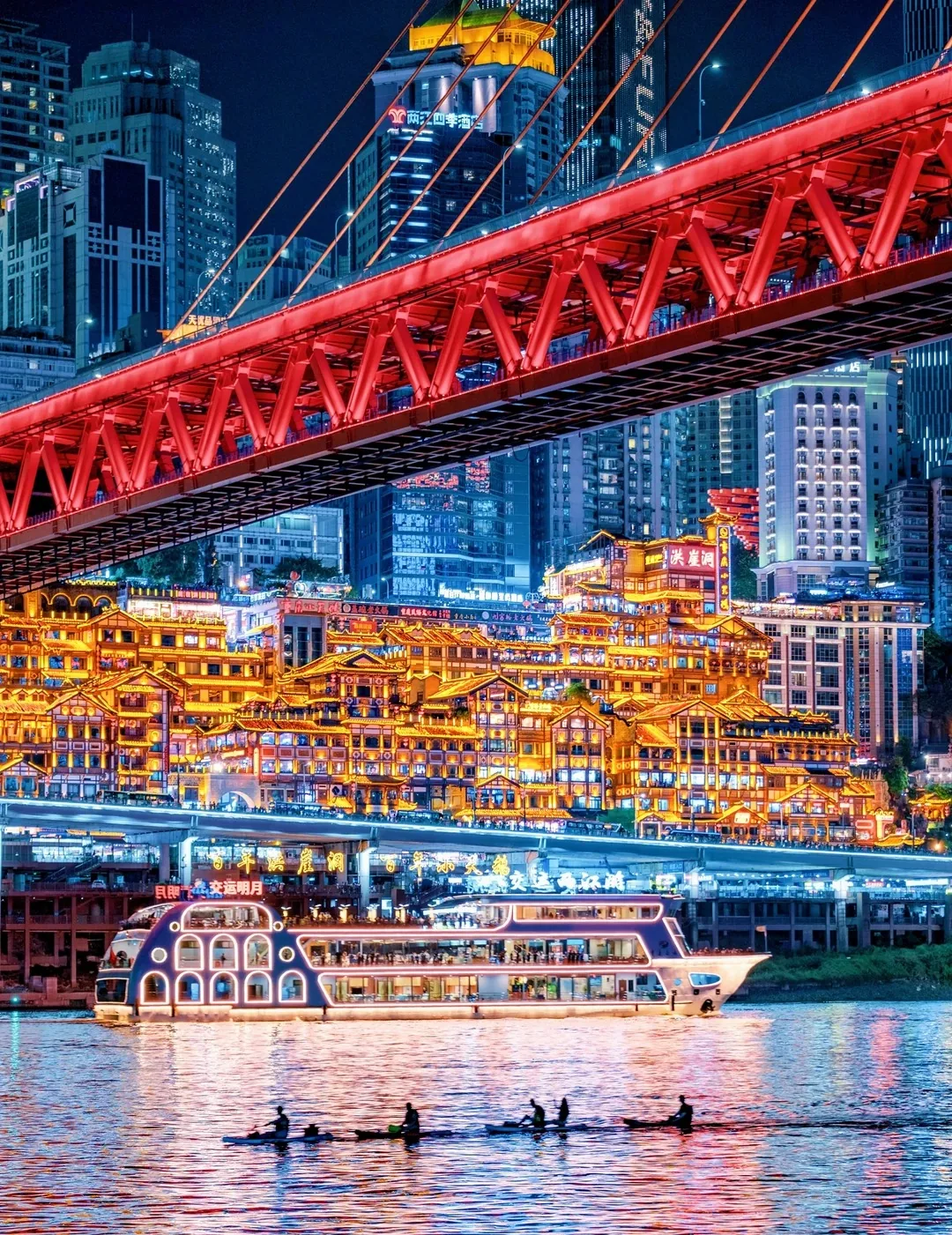
From across the river, bridges, towers, roads and boats reveal Hongya Cave as one layer of a much larger vertical city.
One building meets the street at two different ground levels
Eleven visitor levels climb roughly 79 metres. The Cangbai Road entrance reaches level 11, while the level-one exit opens onto Jialing River Binjiang Road. Lifts cross the greatest height; stairs, escalators and terraces show how roofs, corridors and streets overlap.
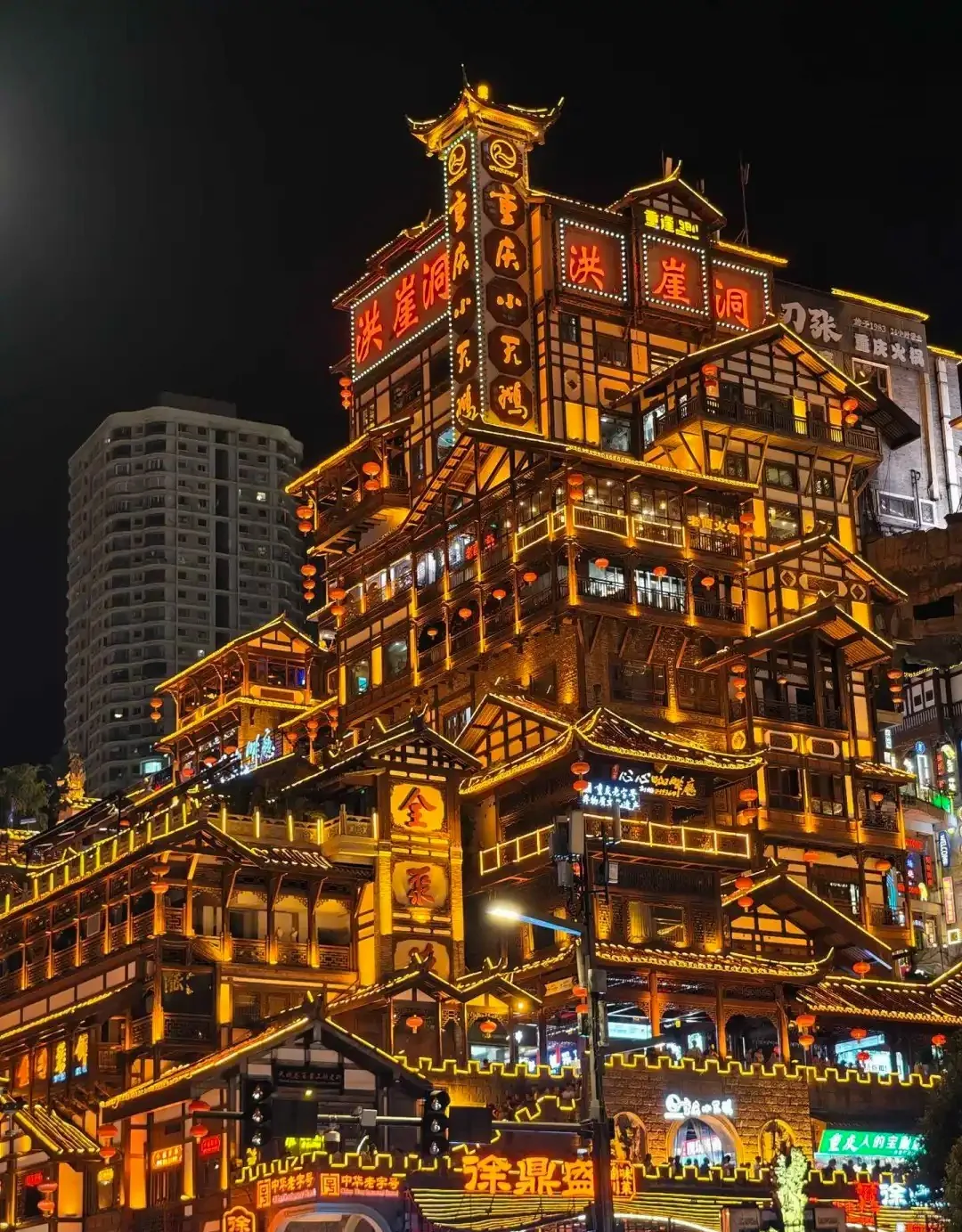
Close views show the projecting roofs and stacked walkways that disappear in the distant skyline.
The interior is the place to experience the height change. The complete façade is best understood from Qiansimen Bridge or the public riverfront on the Jiangbeizui side, where the bridge, Yuzhong skyline and passing boats share one view. Lighting times vary with season and operations.
Extend the walk along the Daijiaxiang cliff path
The nearby Daijiaxiang path connects the river road with the upper city over nearly 60 metres of elevation. Its steps, suspended sections, old wall traces and banyan trees place the modern complex back in the terrain that shaped older Chongqing. At the top, lanes continue into the Jiefangbei district.