
Journey To ChinaLast updated
Chaotianmen guide
The river gate that faced imperial messengers
Chaotianmen began in the Southern Song and later joined Chongqing's Ming-era system of 17 gates. Imperial envoys and edicts arrived by water, giving the gate its name. The structure has gone, but the geography remains unmistakable: Yuzhong narrows to a point where two rivers open eastward into the Yangtze corridor.
Below the gate stood one of Chongqing's busiest wharf groups. Cargo, passengers and news moved between boats, warehouses, guild halls and the upper city. Porters carried loads up long stairways as river levels changed. Ferries later connected wartime offices, factories and neighborhoods on three banks, making Chaotianmen both a long-distance port and part of local transit.
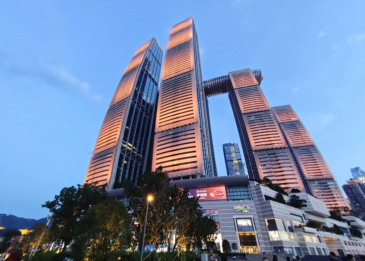
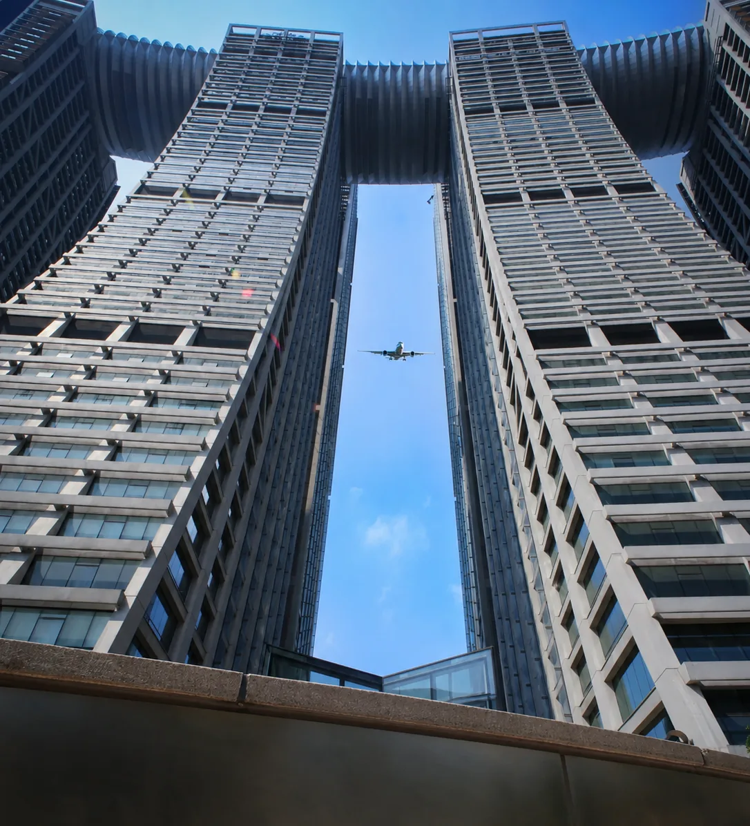
The sail-like composition keeps the old gateway's orientation toward the rivers.
Read the city from the confluence
The Yangtze and Jialing sometimes show contrasting colors, depending on sediment, water level and light. The lasting view is the meeting of broad water and three urban banks, with bridges, cargo vessels and excursion boats showing that this remains a working river.
Seasonal water changes the surface; the open view explains why this point became Chongqing's waterborne gateway.
Raffles City now supplies the dominant silhouette, while the 2.4-kilometre Liangjianghui river walk links Hongya Cave, Chaotianmen and Huguang Guild Hall. As the bank curves, the main view changes from the Jialing and Qiansimen Bridge to the confluence, then to old Yangtze wharves and Dongshuimen Bridge.